
Training
Training for the World Cup in Czechia is here to help the teams to get familiar with the terrain. Through relevance towards fairness. We will provide relevant maps, competitions and also accommodation and logistical tips. Feel free to contact us anytime you need at trainings@wcup.cz.
All training areas and parking locations are added to the map of Embargoed ares (see for overview): https://www.google.com/maps/d/edit?mid=1r8qxoBDvVHzN_M4NQrC0KxEIlztyVqY&usp=sharing
Summary of available training maps
| Area name | Available | Surveyed / revised | Distance from Česká Třebová | Mapped area size |
| 1 Tatenice | since October 26 | surveyed 2024, revised 2024-2026 | 30 km | 17 km2 |
| 2 Jelenice | since October 26 | surveyed 2022-2026, revised 2024-2026 | 0–5 km | 8.5 km2 |
| 3 Janov | since October 26(part of the area will be an official model map) | surveyed 2026, part will be revised in spring 2027 by Adam Chromý (OWC 27 Chief Cartographer) | 7–20 km | 8.2 km2 |
Areas and training maps
1 Tatenice
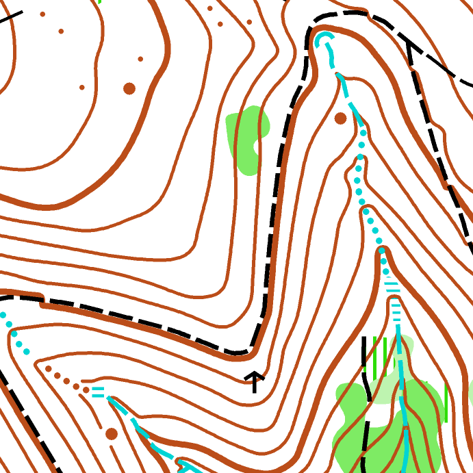
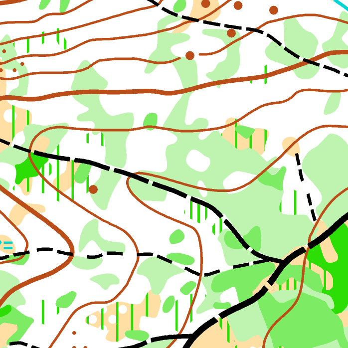
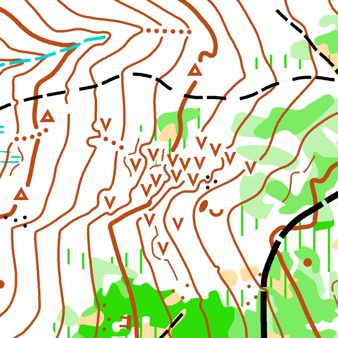
A diverse hilly forest with deciduous, coniferous, and mixed areas. The terrain offers very good, fast runnability throughout most of the area, accompanied by a low to medium density of paths and tracks. The ground is mostly clean, without significant contour or rock details.
Map status: Autumn 2024 (partially revised 2025 and 2026)
Parking is possible on multiple locations: https://mapy.com/s/dunezujuse (click the arrow for GPS locations)
- Parking Drozdovská Pila (3 cars only, leave space for forestry vehicles to pass): 49.902725° N, 16.755352° E
- Parking Březná river (3 cars only next to the road, leave space for forestry vehicles to pass): 49.893960° N, 16.750254° E
- Parking Hoštejn: 49.874090° N, 16.770731° E
- Parking valley of Moravská Sázava river: 49.868248° N, 16.727398° E
- Parking Tatenice pond: 49.867764° N, 16.704720° E
- Parking Tatenice upper meadow: 49.884830° N, 16.694714° E
- Parking Tatenice lower meadow: 49.878130° N, 16.696804° E
- Parking Strážná factory (for use only during the weekend!): 49.910774° N, 16.710989° E
- Parking Strážná village: 49.911560° N, 16.709920° E
Package comes with a middle course training (no flags), set by Šimon Mareček (OWC 27 Sport Director). Course parameters: 6 km, 21 controls, 260 m climb.
This area adequately reflects the generalization level of the competition maps despite being surveyed by a different cartographer than OWC maps.
Map preview: https://mapy.ceskyorientak.cz/en/maps/13463/fusion
2 Jelenice
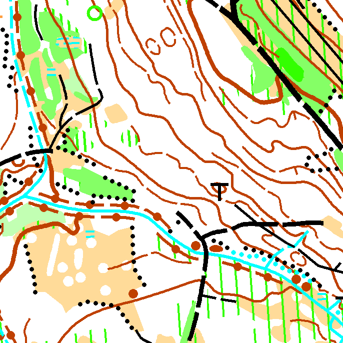
Set of three maps Vyvažadla + Peklák + Zacharovec
Vyvažadla: Hilly terrain with a dense network of paths and rides, featuring diverse vegetation. Visibility is locally reduced, and the ground is occasionally covered with branches from forestry thinning. Map status: April 2026
Peklák: Hilly terrain with a dense network of paths and tracks. Runnability is mostly good, with local undergrowth. There is a very dense network of Bike park trails in the vicinity of the ski slope. Shoes with metal studs are forbidden in the Bikepark area. Please be aware that the Bikepark is fully operational (check opening hours at https://peklak.cz/bike-park/ and the trail map at https://mapy.com/s/cemevocafu). Exercise extreme caution to prevent collisions with descending cyclists. Map status: April 2024.
Zacharovec: Hilly terrain with diverse vegetation and a dense network of paths and rides. Runnability is locally reduced by undergrowth and fallen branches. Please note that rootstocks, as well as pits and knolls caused by old decaying trees, are not mapped. Areas with a high concentration of these features are mapped as broken ground. Map status: May 2025.
Parking is possible on multiple locations: https://mapy.com/s/cudapufata (click the arrow for GPS locations)
- Parking Peklák Skiarea: 49.908745° N, 16.433014° E
- Parking Třebová Pool: 49.902640° N, 16.431719° E
- Parking U Kohouta (2 cars only, leave space for forestry vehicles to pass): 49.904190° N, 16.413900° E
- Parking Zhoř: 49.904520° N, 16.382397° E
- Parking Přívrat: 49.921833° N, 16.395613° E
- Parking Údolí Oddechu (3 cars only, leave space for forestry vehicles to pass): 49.922455° N, 16.381306° E
- Parking Přívrat Cemetery: 49.927837° N, 16.399242° E
- Parking Zacharovec: 49.927937° N, 16.423440
Map previews: https://mapy.ceskyorientak.cz/en/maps/14496/fusion (Vyvažadla), https://mapy.ceskyorientak.cz/en/maps/11992/fusion (Peklák), https://mapy.ceskyorientak.cz/en/maps/13883/fusion (Zacharovec).

3 Janov
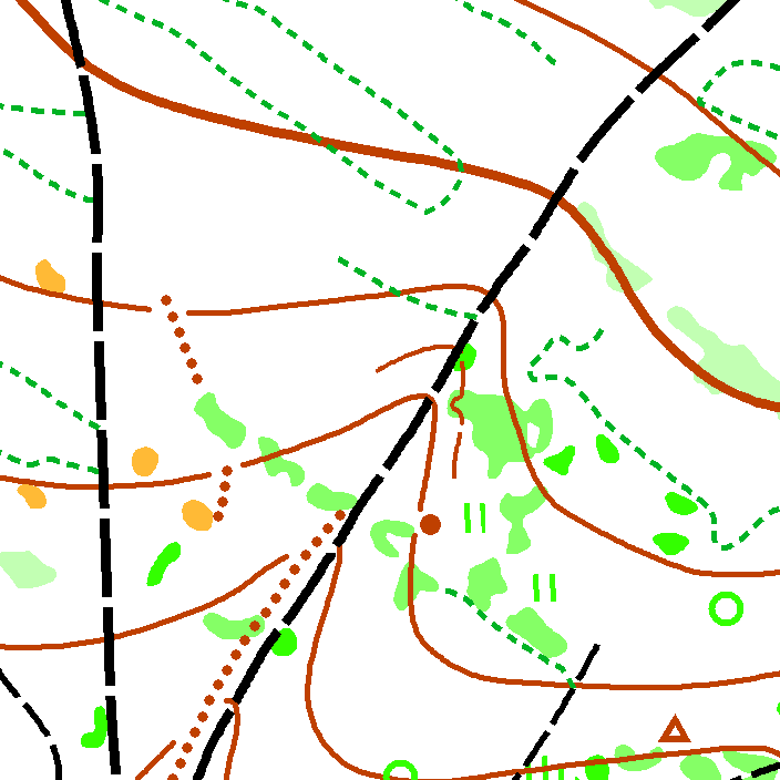
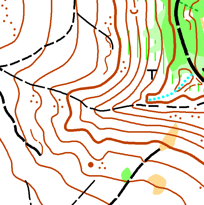
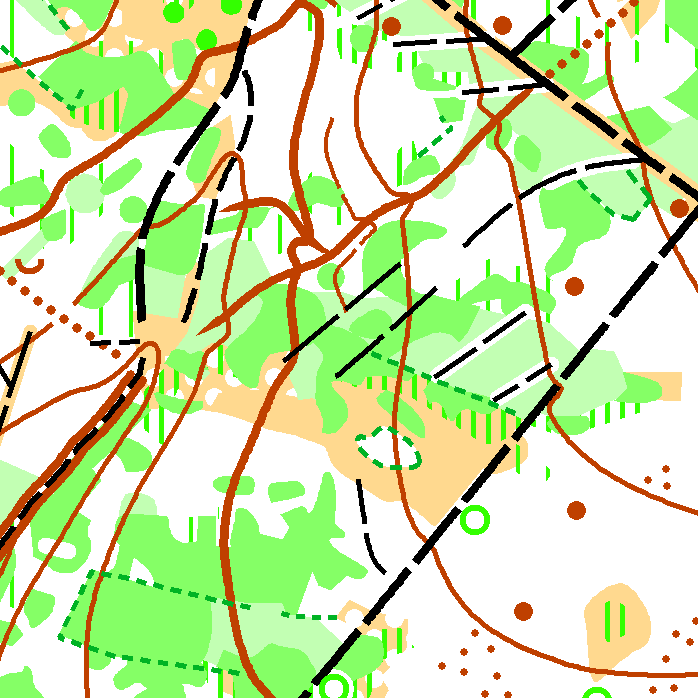
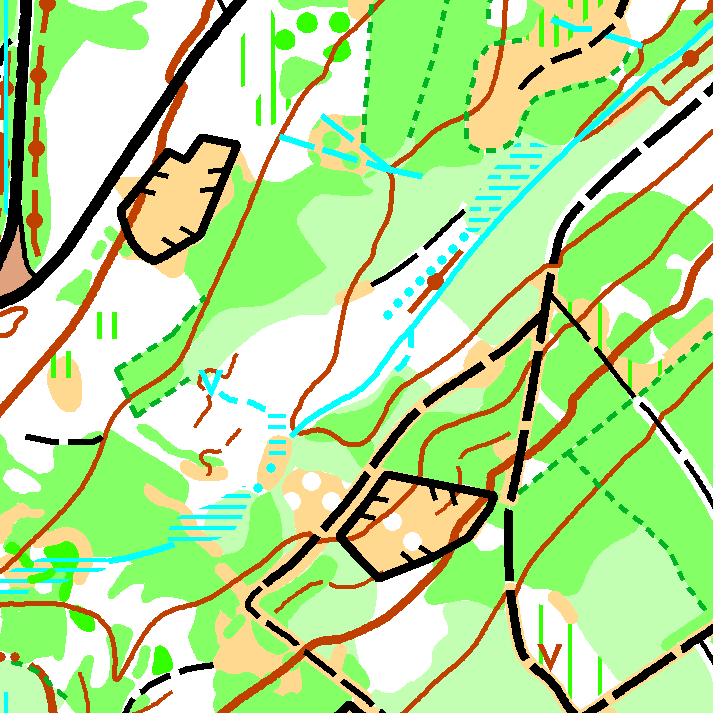
A diverse mixed forest with varying vegetation, lacking significant contour details, despite its north-western part, where deep valleys can be found. The terrain is hilly with a relative elevation difference of up to 150 meters, and features a relatively dense network of paths and tracks.
Parking is possible on 2 locations: https://mapy.com/s/cucofodeva (click the arrow for GPS locations)
- Parking Janov meadow: 49.845833° N, 16.403610° E
- Parking Semanín: 49.866550° N, 16.449886° E
Please be aware there is an embargoed area surrounding the training area. Entering the embargoed area is not permitted and will lead to disqualification.
Map preview: https://mapy.ceskyorientak.cz/en/maps/14742/fusion
Price
40 EUR for OCAD file + 4 EUR per competitor at a training unit
Invoices will be issued after training camps, please confirm/revise the number of competitors at each training unit to determine the price. Play fair!
Competitions in relevant terrains
A regional middle distance race will take place on Sunday, November 1, 2026, in Choceň (Podhradí). The entry deadline is October 25, 2026. The event features hilly terrain with larger and smaller valleys and gullies, characterized by a well-runnable mixed forest, vegetation details of varying runnability, and a dense network of paths and tracks. Competitors will use the new map Darebnice (scale 1:10 000, contour interval 5 m, ISOM 2017-2 standard), mapped in October 2026 by main cartographer Jan Sháněl. More information: https://oris.ceskyorientak.cz/Zavod?id=9582&lang=en
Basic rules to follow
- Coordination is Required: All training sessions must be coordinated with the organizers and require prior email confirmation. This is a fundamental condition of our agreements with landowners and authorities.
- No Night Orienteering: Night orienteering is strictly prohibited, as it jeopardizes our local relationships.
- Leave the Forest Clean: Remove all control markings immediately after your session. Please leave the forest entirely clean upon departure.
- No Driving the in Forest: Never drive vehicles off public roads. Under Czech law, driving on forest roads is illegal without a special permit.
- Parking: Park only at the recommended locations to help us maintain positive relations with forest owners, locals, and authorities. Always obey Czech traffic laws and never block access to private properties or forest/meadow roads, leave enough space for tractors or forestry vehicles to pass. Parking is entirely at your own risk; we cannot guarantee the availability or suitability of these spots.
- Group Size Limit: The maximum number of participants for any single training session is limited to 40 people.
For further information, please contact the Training Coordinator, Jan Žák: trainings@wcup.cz (in English, German, or Czech).